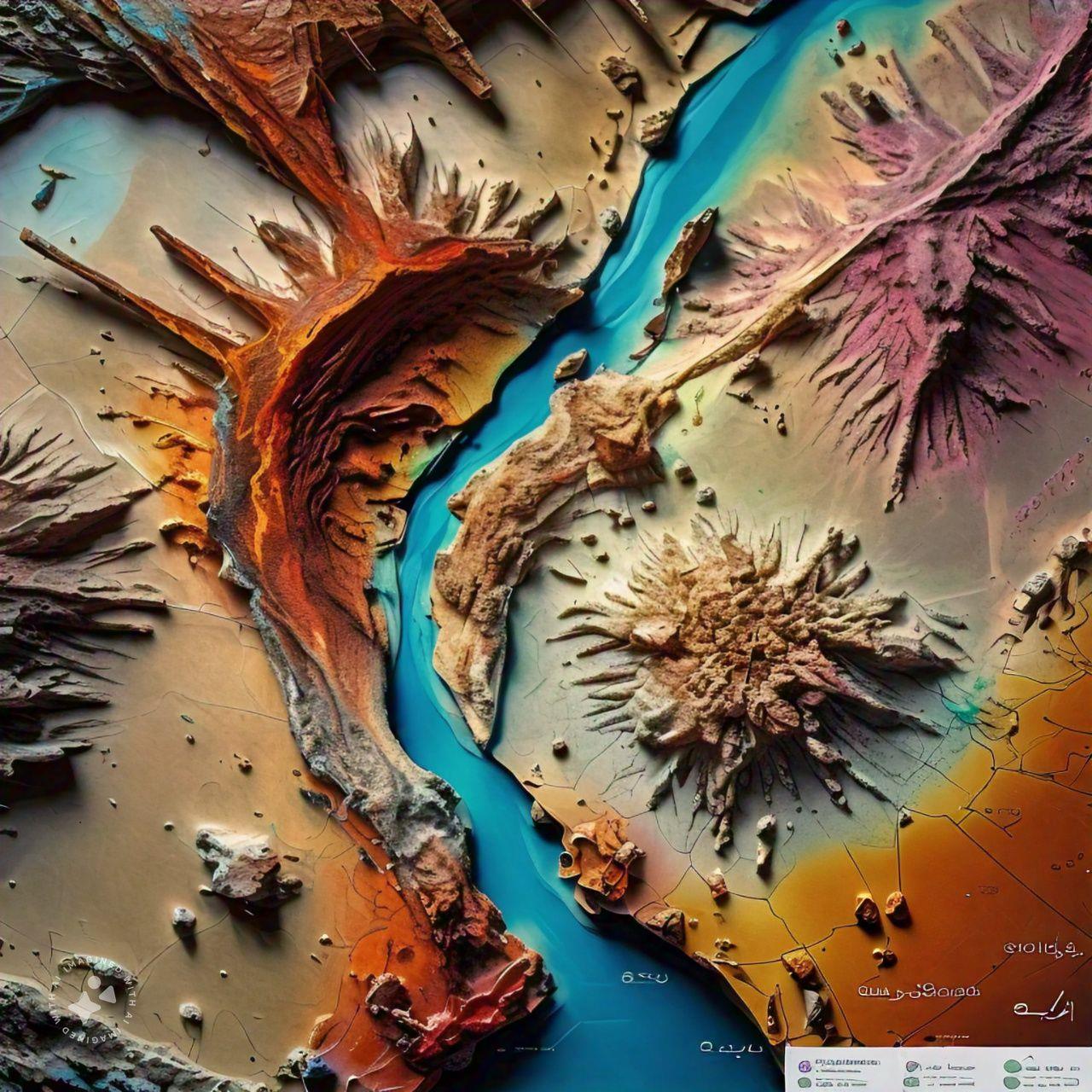
Road Corridor Investigations
Road corridor investigations assess the ground along a proposed or existing highway alignment so that the route, earthworks and pavement can be designed safely and economically. The work combines desk studies, geological and geomorphological mapping, test pits, boreholes, in-situ testing and geophysical surveys at regular intervals and at critical locations such as cuts, embankments and structures. Samples of subgrade and potential fill are tested for classification, compaction and CBR. The investigation identifies problem ground such as soft soils, sabkha, collapsible or expansive soils, mobile sand, karst and unstable slopes. Results inform alignment choices, cut slope angles, embankment design, pavement thickness and material sourcing.
Dam Site Geology
Dam site geology investigates the rock and soil at a proposed or existing dam to confirm that the foundation and abutments can carry the structure and hold water safely. Geologists map the site and reservoir area, drill cored boreholes, carry out packer (Lugeon) permeability tests and use geophysics to locate faults, weak layers, karst and highly permeable zones. Discontinuities and weathering are characterised for stability and seepage analysis, and the reservoir rim is checked for landslides and leakage paths. Sources of fill, aggregate and riprap are also identified. The findings guide the choice of dam type, foundation excavation depth, grouting and cutoff design and long-term monitoring.
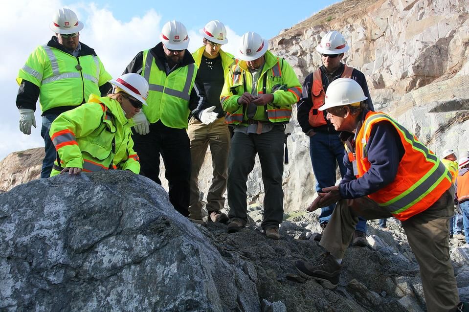
Airport Foundation Studies
Airport foundation studies investigate the ground beneath runways, taxiways, aprons, terminals and related structures, which often cover very large areas. The programme combines boreholes, test pits, cone penetration tests, plate load tests and dynamic cone penetrometer testing with geophysical surveys to locate variations and cavities between investigation points. Laboratory tests on samples measure soil classification, strength, compressibility, CBR and aggressive chemistry. Engineers use the results to assess subgrade support, predict settlement, and identify problem soils such as collapsible, expansive or saline ground and shallow groundwater. The studies provide parameters for pavement design, building foundations and ground improvement, and help avoid costly differential settlement.
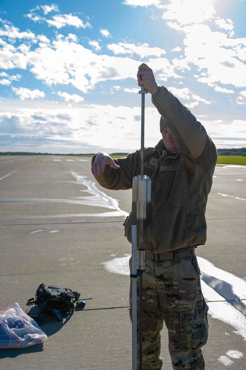
Quarry & Borrow Pit Surveys
Quarry and borrow pit surveys locate, measure and test sources of earth and rock fill needed for embankments, backfill, road layers and land reclamation. Potential pits are identified from maps, imagery and site walkovers, then investigated with test pits, trenches or shallow boreholes to define material types, thickness, overburden and groundwater. Samples are tested for grading, plasticity, compaction, CBR and, where relevant, salt content. Topographic or drone surveys before and during excavation provide accurate volumes of material available and extracted. The results confirm whether a pit can supply suitable fill in the required quantity and support excavation planning, haulage costs and site restoration.
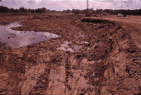
Laboratory Analysis & Testing
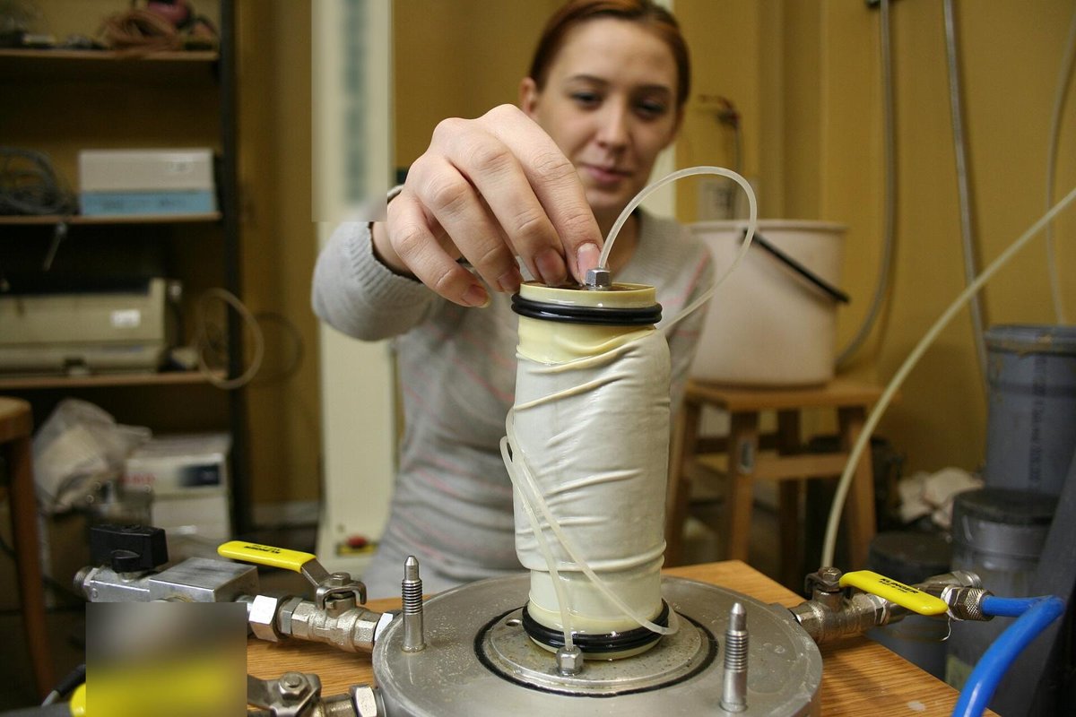
Laboratory analysis and testing measure the properties of soil, rock and aggregate samples collected in the field. Classification tests include moisture content, particle size distribution, Atterberg limits and density. Strength and stiffness are measured with unconfined compression, triaxial, direct shear and point load tests, while oedometer tests measure consolidation and swell. Compaction and CBR tests assess fill and subgrade, and chemical tests determine sulphate, chloride, carbonate and pH, which matter for concrete durability in saline environments. Tests follow recognised standards such as ASTM and BS. The results provide reliable parameters for foundation, slope, pavement and earthworks design and for material acceptance.
Technical Training & Advisory
Technical training and advisory services transfer geoscience knowledge to client teams and provide expert guidance on projects. Training can combine classroom sessions, software workshops and field or core shed practice in topics such as geological mapping, core logging, structural measurement, GIS, 3D modelling, mineral exploration and resource estimation. Advisory work includes planning ground investigation and exploration programmes, reviewing data and reports, auditing procedures and quality control, and supporting decisions during design and construction. The aim is to build in-house capability and ensure geological information is collected and interpreted consistently. This helps reduce geological risk, improve data quality and make project decisions on a sound technical basis.
Other capabilities in this service
Back to Geological Mapping ServicesDiscuss your project with ATLAS GES
Tell us about your site and requirements, and our team will get back to you.
Get in Touch