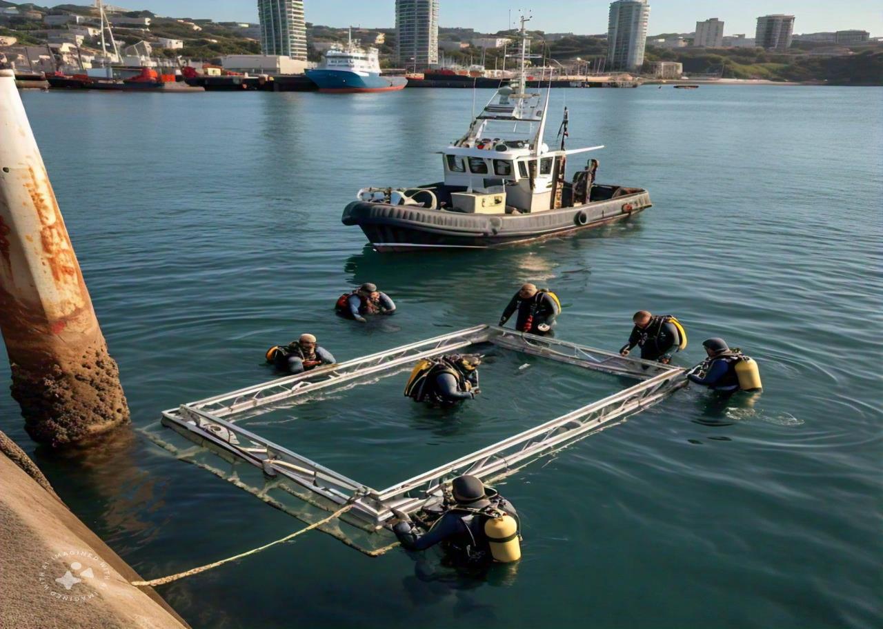
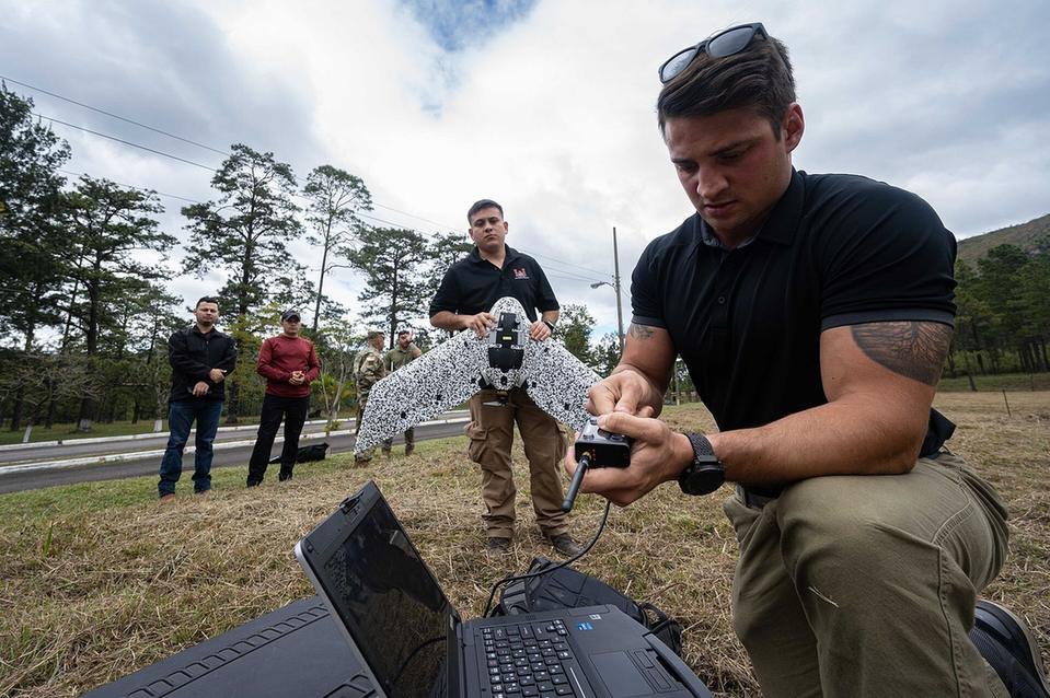
Aerial Topographic Surveys
An aerial topographic survey maps the shape and features of the ground from the air instead of walking every point on foot. A crewed aircraft or an unmanned aerial vehicle (drone) carries a calibrated mapping camera, a LiDAR laser scanner, or both, and flies overlapping lines across the site. Ground control points measured by GNSS tie the imagery to the national coordinate system. Photogrammetry or LiDAR processing software then produces point clouds, digital terrain models, contour plans and orthophotos. Engineers use these outputs for route selection, earthwork volume calculations, drainage design and master planning of large or hard-to-reach sites.
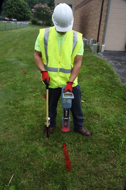
Utility Location Surveys
A utility location survey finds and maps buried services such as water mains, sewers, power and telecom cables, and gas or oil pipelines before any excavation or design work. Surveyors use electromagnetic cable-and-pipe locators to trace metallic and energised lines, and ground-penetrating radar (GPR) to detect non-metallic pipes, ducts and voids. The detected positions are marked on the ground and then surveyed with GNSS or a total station. Results are compiled into a utility drawing, often graded by confidence level under standards such as PAS 128 or ASCE 38. This reduces the risk of service strikes, prevents design clashes and supports safe excavation.
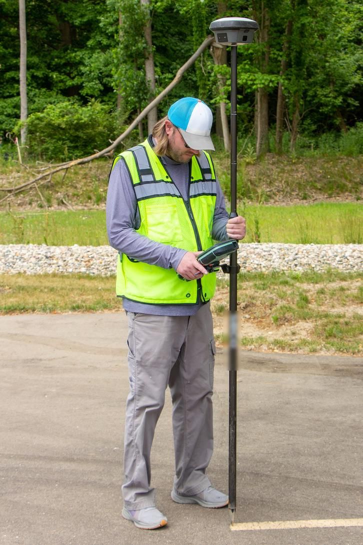
GPS & GIS Mapping
GPS and GIS mapping combines satellite positioning with a geographic information system to capture, store and analyse location-based data. Surveyors use GNSS receivers, which track GPS and other satellite constellations, in static mode for control networks or in Real-Time Kinematic (RTK) mode for centimetre-level positions in the field. Each surveyed feature, such as a road edge, manhole, boundary or borehole, is recorded with coordinates and descriptive attributes. The data is then loaded into GIS software, where layers can be overlaid, queried and turned into maps. Engineers and asset owners use it for site planning, asset registers, land administration and infrastructure management.
3D Geological Modelling
3D geological modelling builds a digital, three-dimensional picture of the ground beneath a site. Geologists and engineers bring together borehole logs, CPT profiles, laboratory results, geophysical surveys and surface mapping, and interpret where each soil and rock layer, fault or groundwater surface lies. Specialist software interpolates between the data points to create layered surfaces and volumes, which can be sliced in any direction or viewed in 3D. The model shows how ground conditions vary across a site. Engineers use it to plan foundations, tunnels and excavations, to estimate quantities, and to identify where more investigation is needed.
Construction Stakeout
Construction stakeout, also called setting out, transfers the positions and levels shown on design drawings onto the ground so that contractors build in exactly the right place. Surveyors load design coordinates into a total station or RTK GNSS rover, navigate to each point, and mark it with pegs, nails, paint or offset stakes. Typical stakeout includes building corners, column grids, pile positions, road centrelines, kerbs and pipe inverts, along with the levels needed for excavation and formwork. Points are checked against established control to confirm accuracy. Accurate setting out prevents costly rework and keeps structures within their design tolerances.
As-Built Verification
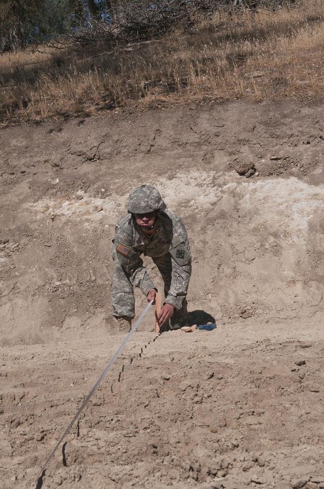
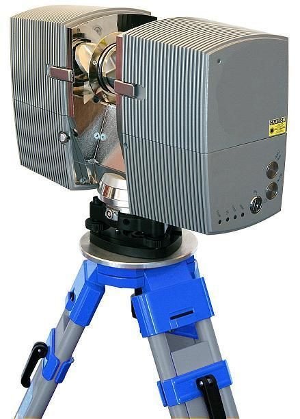
As-built verification surveys what has actually been constructed and compares it with the approved design. Surveyors measure the finished positions, levels and dimensions of structures, roads, pipelines and other elements using total stations, GNSS and, increasingly, terrestrial 3D laser scanners that capture millions of points in minutes. The measured data is overlaid on the design model to produce deviation reports, as-built drawings or point-cloud and BIM records. This confirms that the work meets specified tolerances, supports contract certification and handover, and gives owners an accurate record for future maintenance, extensions and asset management.
Other capabilities in this service
Back to Survey ServicesDiscuss your project with ATLAS GES
Tell us about your site and requirements, and our team will get back to you.
Get in Touch