Air Pollution Assessment
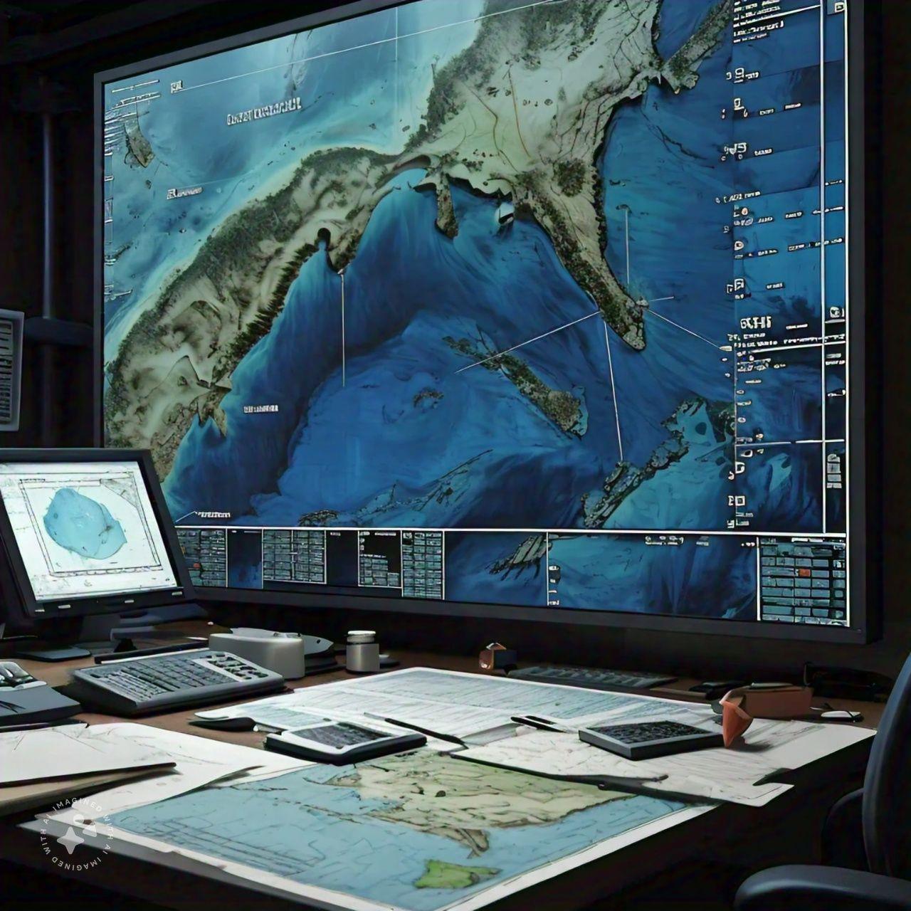
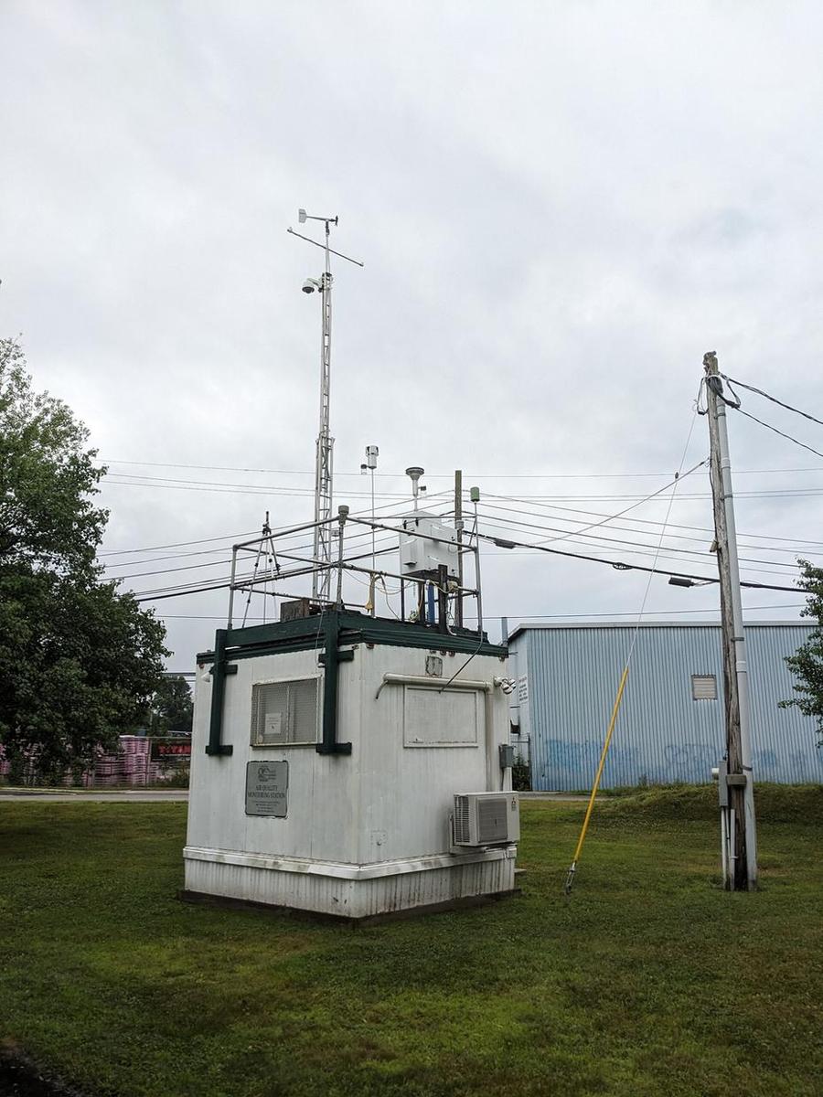
Air pollution assessment measures and evaluates the concentration of pollutants in the air around a site or emitted from its sources. Common parameters include particulate matter (PM10 and PM2.5), nitrogen dioxide, sulphur dioxide, carbon monoxide, ozone, hydrogen sulphide and volatile organic compounds. Monitoring uses continuous analysers housed in monitoring stations, portable dust monitors, passive diffusion tubes and stack sampling for point sources, supported by weather data. Results are compared with national ambient air quality standards and international guidelines. The assessment is used in impact studies, to set baseline conditions, to demonstrate permit compliance, and to manage dust during construction.
Water & Wastewater Services
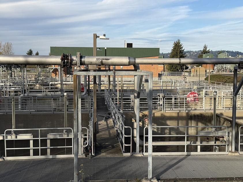
Water and wastewater services cover the testing, assessment and management of water supplies and the effluents a project produces. Work includes sampling surface water, seawater, potable water and process effluent, and analysing parameters such as pH, dissolved oxygen, biochemical and chemical oxygen demand, suspended solids, nutrients, oil and grease, heavy metals and bacteria. Consultants characterise wastewater streams, assess treatment options such as activated sludge, membrane or package plants, and review outfall and discharge arrangements against permit limits. These services support discharge permits, treatment plant design and upgrades, water reuse schemes, and the protection of receiving waters near the site.
Groundwater Characterization & Monitoring
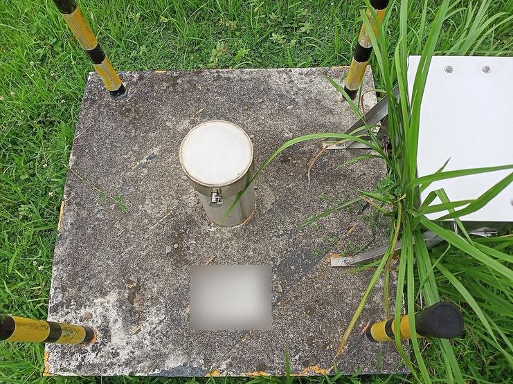
Groundwater characterization defines the aquifer beneath a site: its depth, flow direction, permeability and water quality. Monitoring wells are drilled and screened at target depths, then developed and surveyed so water levels can be compared across the site. Hydraulic properties are measured using slug tests or pumping tests, and water levels may be logged continuously with pressure transducers. Samples are collected using low-flow pumps or bailers and analysed for salinity, hydrocarbons, metals and other contaminants. Repeat monitoring rounds track changes over time. The results inform foundation and dewatering design, contamination studies, and long-term compliance monitoring around industrial and fuel facilities.
Contaminant Assessment Studies
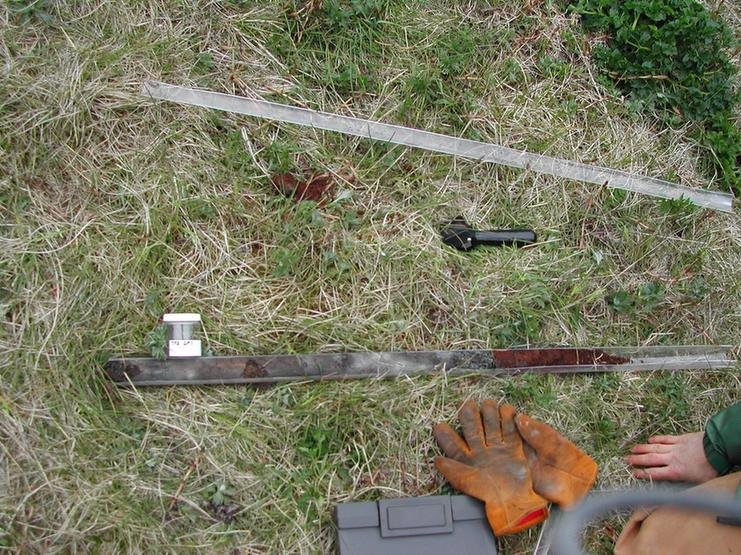
Contaminant assessment studies determine what pollutants are present in soil, groundwater or sediment, how much there is, and how far it has spread. Investigators design a sampling grid based on likely sources, then collect soil cores using direct-push or drilling rigs, install monitoring wells, and screen samples in the field with instruments such as photoionisation detectors. Laboratory analysis targets the relevant chemicals, for example petroleum hydrocarbons, BTEX, PAHs, chlorinated solvents or heavy metals. Results are mapped to define the horizontal and vertical extent of the contamination plume. This delineation forms the basis for risk assessment, remediation design and regulatory reporting.
Noise & Emission Modelling
Noise and emission modelling uses computer models to predict how sound and air pollutants from a project will spread into the surrounding area. For noise, engineers build a digital model of terrain, buildings and sources such as plant, traffic and construction equipment, then calculate sound levels at nearby receptors using methods such as ISO 9613-2. For air emissions, dispersion models such as AERMOD or CALPUFF combine emission rates, stack parameters and local meteorological data to estimate ground-level concentrations. Predictions are checked against standards and used to test mitigation, such as noise barriers, taller stacks or revised layouts, before anything is built.
Other capabilities in this service
Back to Environmental ConsultancyDiscuss your project with ATLAS GES
Tell us about your site and requirements, and our team will get back to you.
Get in Touch